Are you living in a food desert? These maps suggest it can really affect your health
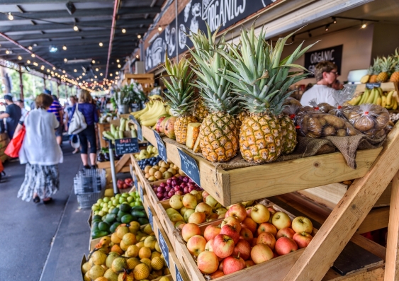
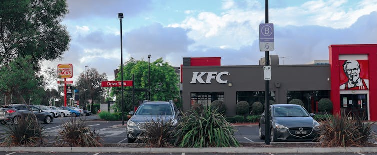
Nearly two-thirds of suburbs in one major part of Sydney have no food stores at all. And in those that do, unhealthy food outlets outnumber healthy ones by more than six to one.
Published on the 16 Jan 2023 by Nicky Morrison, Gregory Paine